|
|
WATER RESOURCES FORECASTING & CONSERVATION RESEARCH
OVERVIEW
|
|
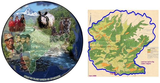
Humanity has been evolving near the vicinity of water resources. About sixty percent of the world population lives along coastal areas - UN report; about the same percentage of the US population lives in the coastal areas (637 counties within 34 states along Pacific and Atlantic Oceans, Gulf of Mexico, and Great Lakes fall in the coastal areas) - NOAA report. Two thirds of the world's population will live along the coasts by 2030 - The World Bank Report. The coastal areas of our planet will soon be stressed with over population and environmental degradation unless efficient and environment-friendly planning to cope with this problem is put in place on time. Such a planning can be optimized through an integrated regional energy and water cycle model that is supported by advanced geodesy, satellite remote sensing, and Engineering Geographic Information System (EGIS). By coupling the relevant and state-of-the-art technologies, a new integrated and Comprehensive Water Cycle Model (CWCM) can be developed. The CWCM can assist towards optimal regional planning of water resources, environment-friendly developments, and emergency preparedness.
Energy and water cycles are intertwined as solar radiation (the vital input of our daily energies) changes the phases of water, as a result of which perpetual global circulation of energy and water cycle takes place. The anthropogenic aggression has been putting stress on the earth's crust and its biosphere to make water as its first victim.
The rapid expansion of urbanization is causing fundamental alteration of streams/rivers behaviors and hydrologic responses across watersheds. State-of-the-art geospatial technologies can optimize planning and forecasting of water resources. The alarming population growth, urbanization, and global warming are depleting the fresh water reservoirs. Unless techniques of water conservation and optimal water forecasting are developed, the 21st century generation will face difficulties in meeting the water demands. Earth Mapping International consortium is working on developing hydrological models that will forecast and conserve water in regional and local levels.
|
| |
|
|